SurPad 4.2 - Android App for Surveying, Mapping & Road Design
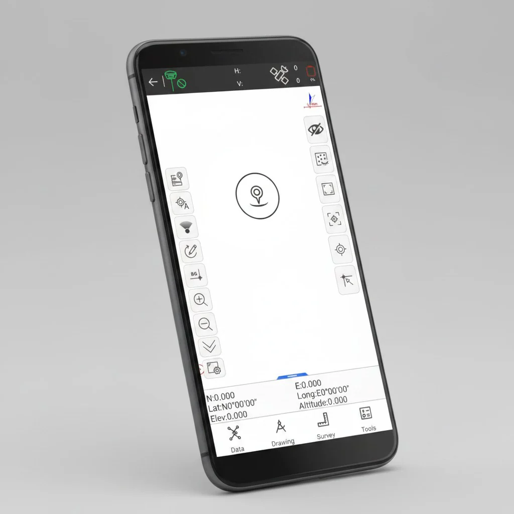
SurPad 4.2 is a professional Android application built for modern surveying workflows. It combines GNSS RTK receiver control, total station integration, and GIS data collection into a single streamlined platform, helping field teams work faster and more efficiently. SurPad 4.2 is a powerful surveying app for Android devices, offering advanced tools for GNSS positioning, topographic data collection, and road layout — all in one intuitive interface.
Designed for Professional Field Work
SurPad 4.2 is tailored for surveyors, engineers, and geospatial professionals who need reliable and precise tools in the field. By using a standard Android smartphone or tablet, you can access a full suite of professional features without relying on expensive dedicated controllers.
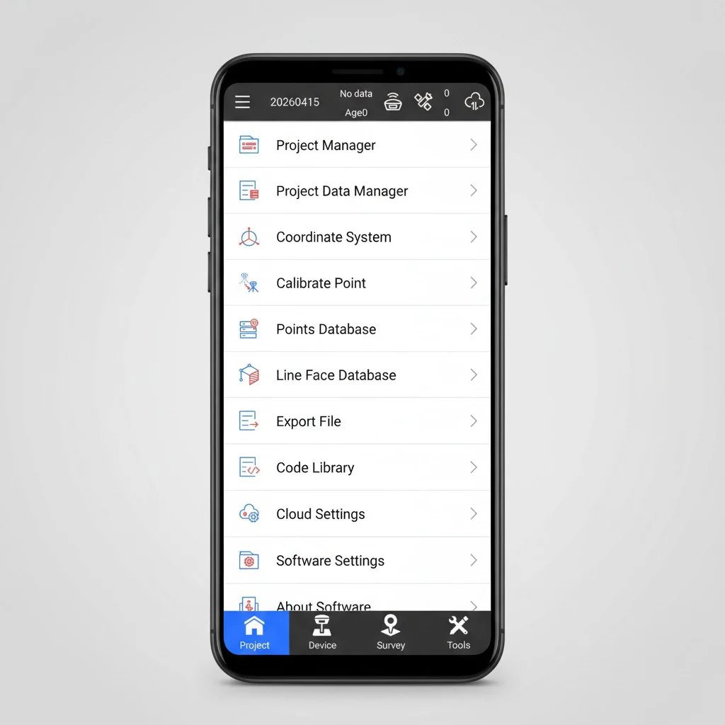
All-in-One Surveying Solution
The application integrates RTK positioning, GIS data capture, and road design tools into one cohesive environment. This reduces complexity and allows you to complete projects more efficiently without switching between multiple software solutions.
Wide Compatibility & Data Support
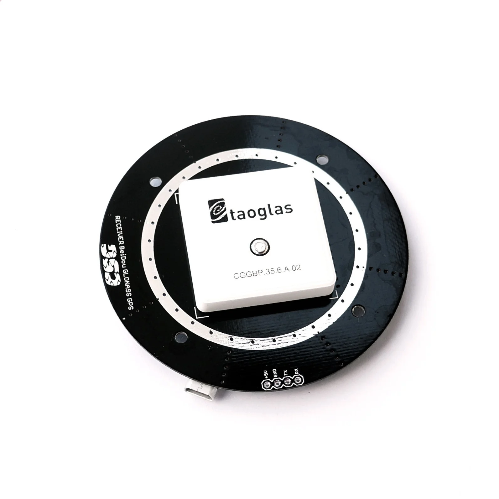
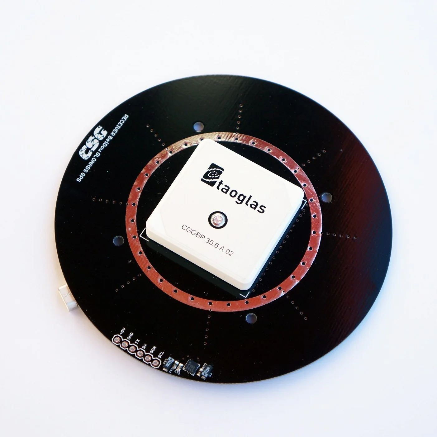
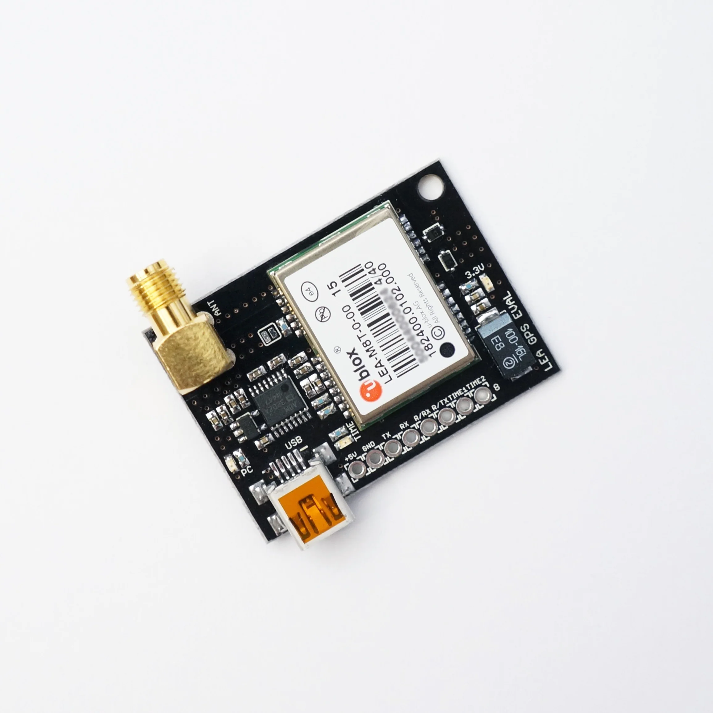
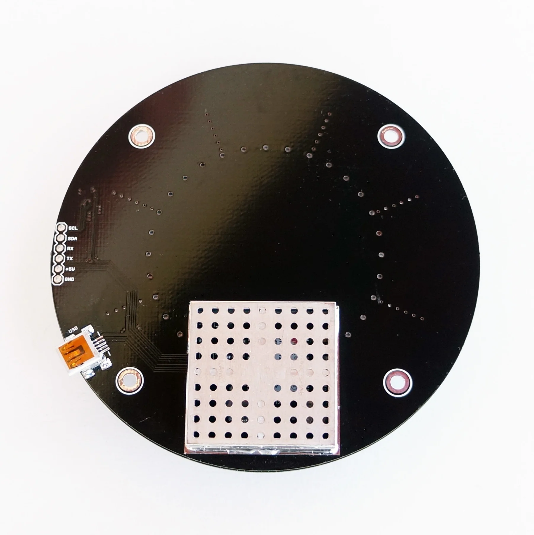
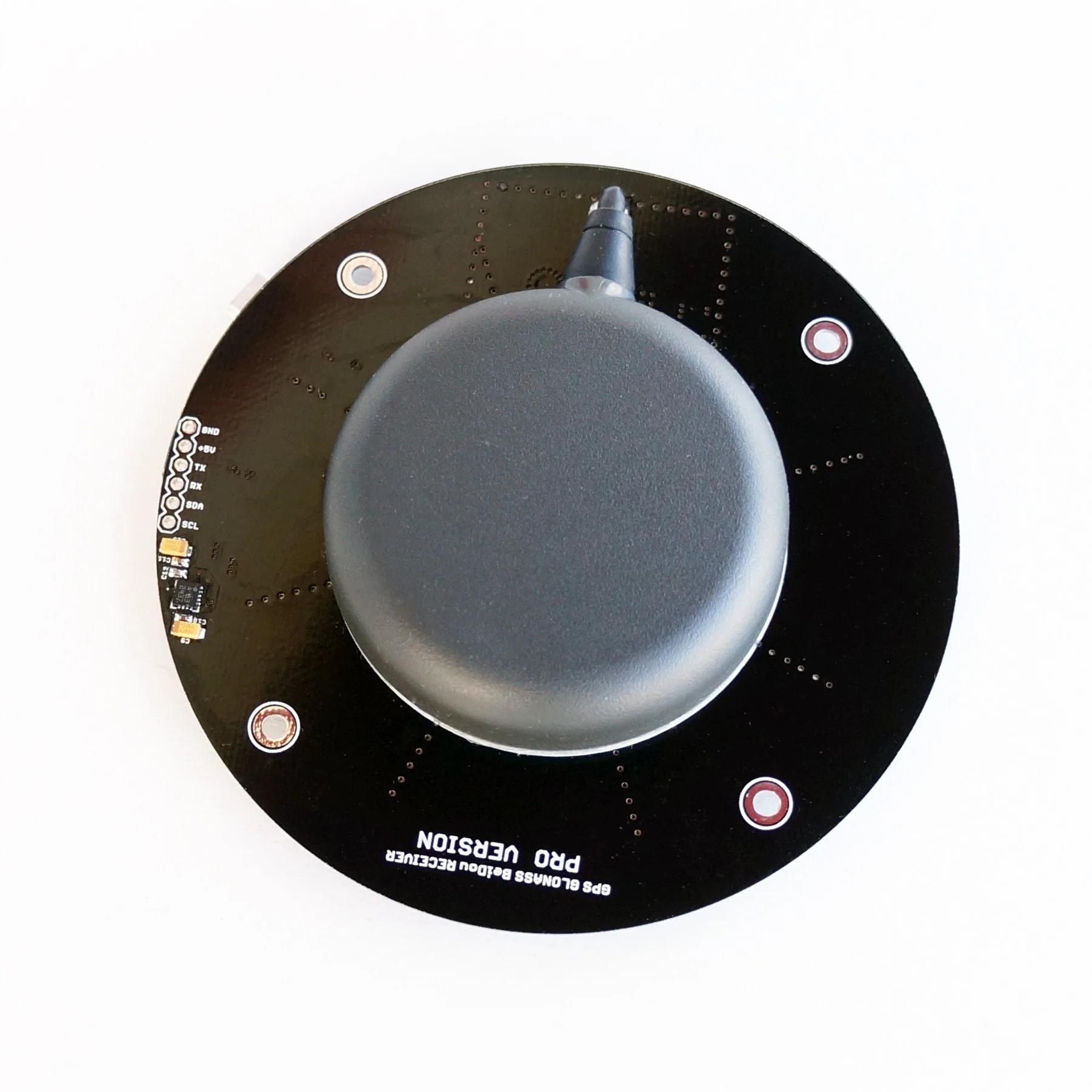
SurPad 4.2 works seamlessly with a broad range of GNSS receivers and equipment brands. It also supports:
- Over 1600 coordinate systems and projections
- Geoid and grid file integration
- Import and export of common formats such as CSV, DXF, SHP, KML, GPX, and TXT
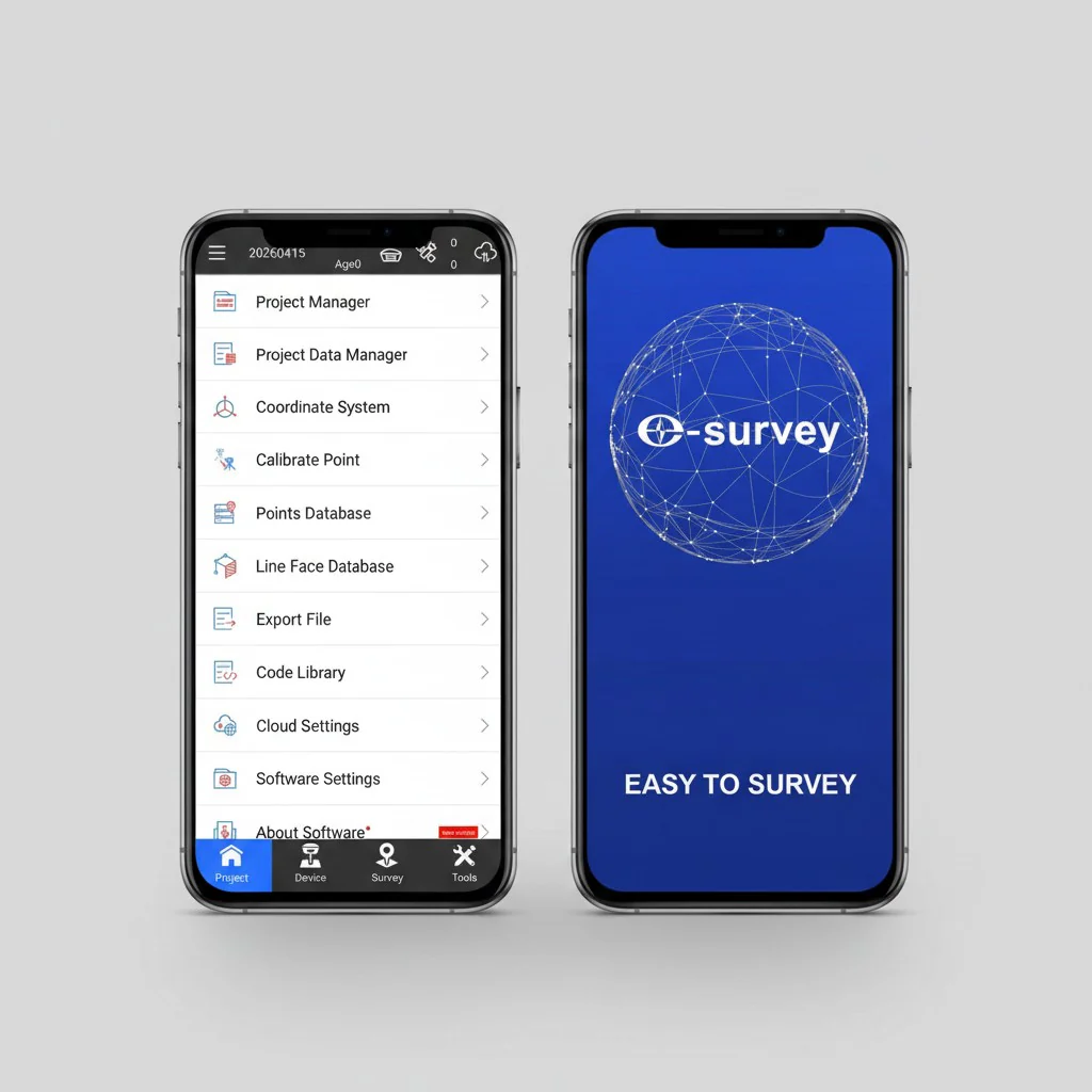
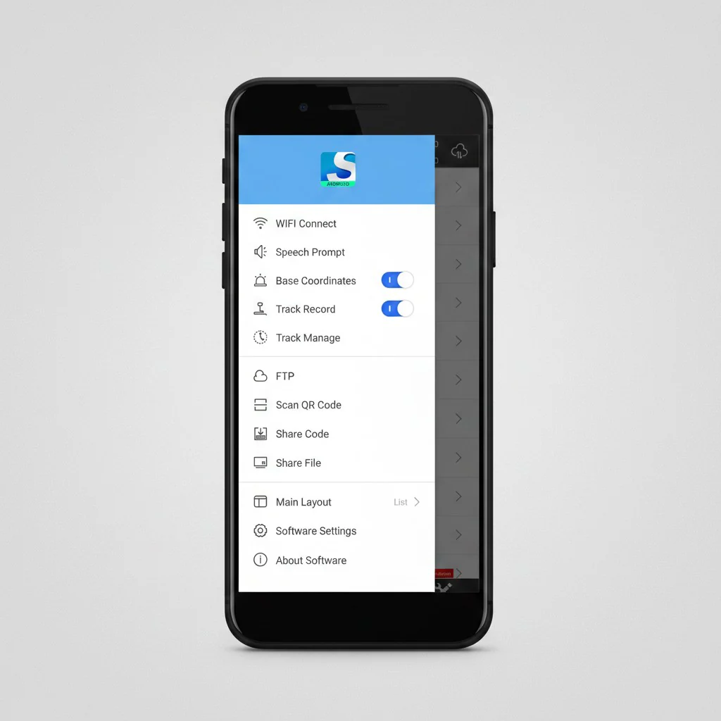
Flexible and User-Friendly Interface
The interface is designed for ease of use in real field conditions. Users can customize the display (list, grid, or personalized views) and benefit from graphical tools like COGO calculations, QR code scanning, and FTP data transfer.
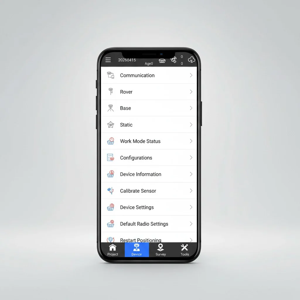
Fast Connectivity
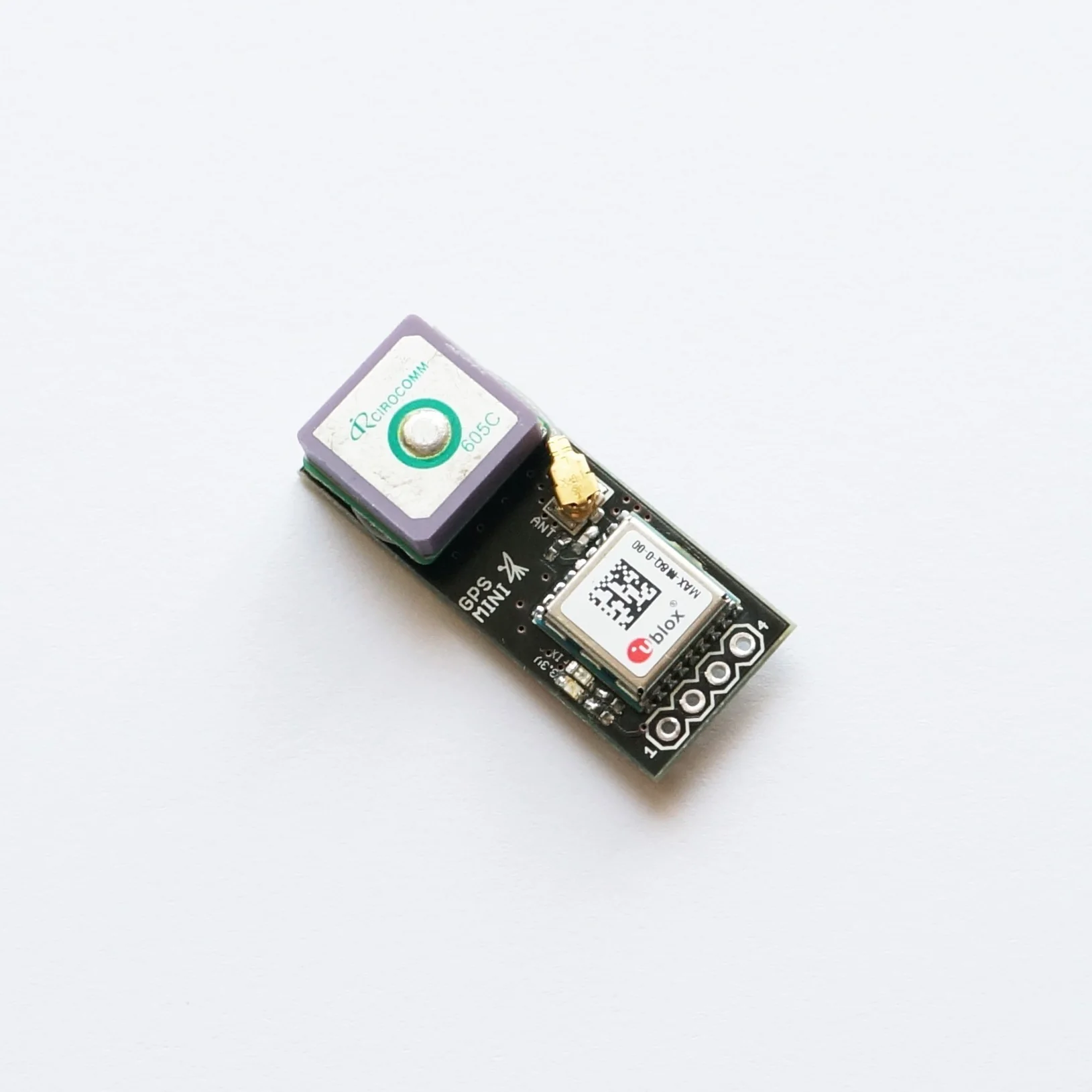
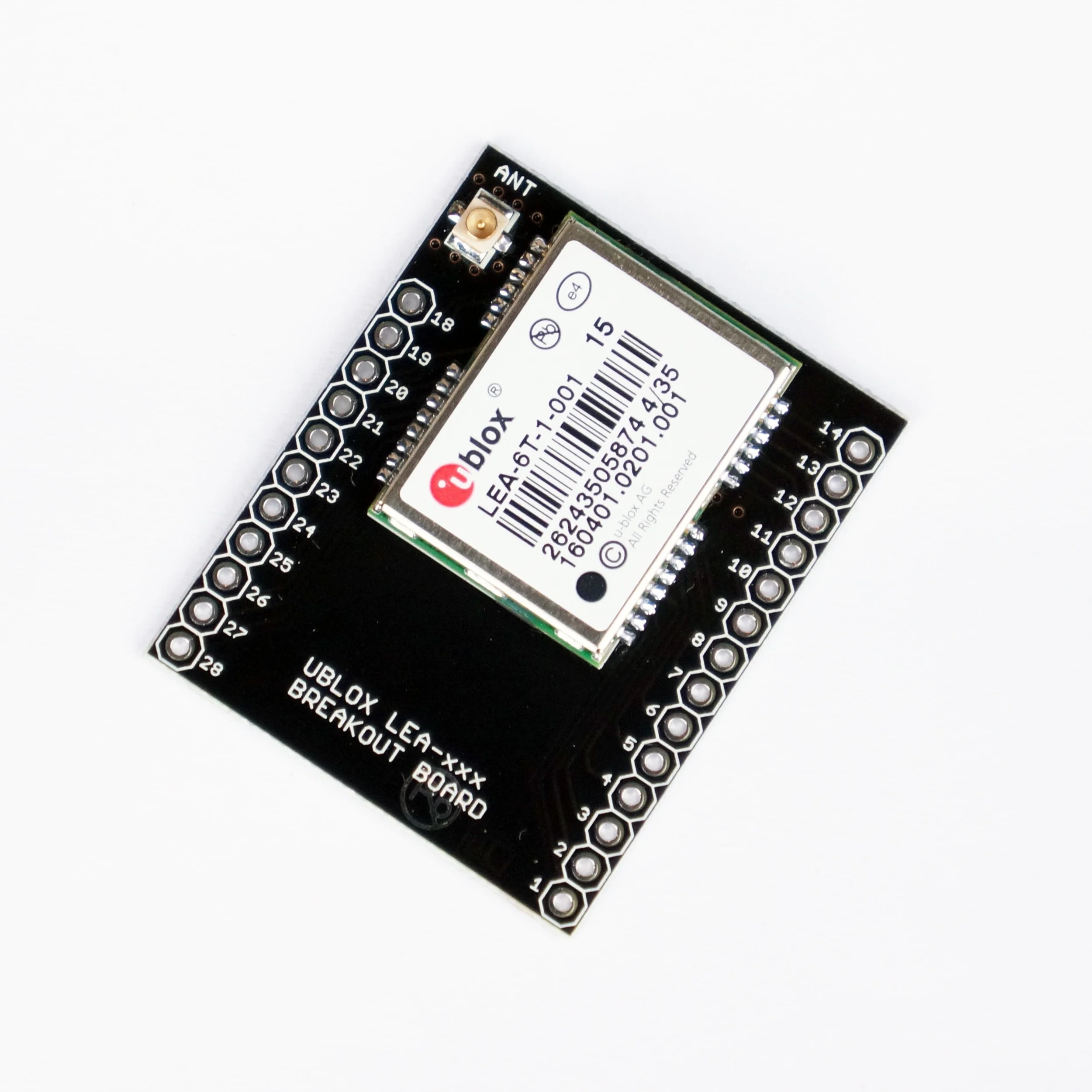
Quickly connect to GNSS receivers via Bluetooth or Wi-Fi. The app can automatically detect and pair with nearby devices, saving setup time.
Advanced Layer Management
Work with both online and offline map layers, including DXF, SHP, DWG, and XML files. Built-in CAD tools allow you to create and edit drawings directly in the field.
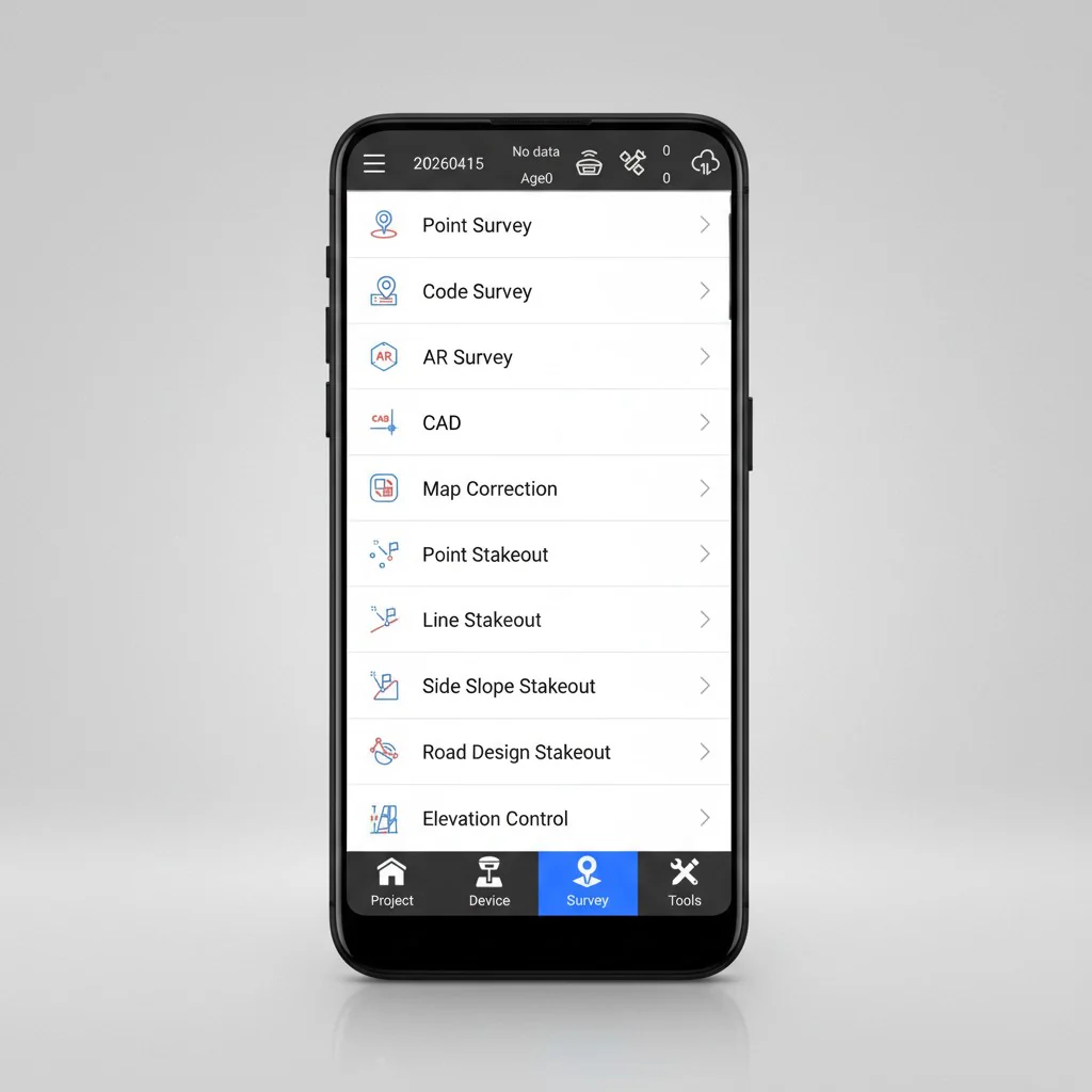
Road Design & Stakeout Tools
Perform precise road layout and stakeout tasks with advanced calculation capabilities, suitable for complex engineering projects.
Voice Notifications
Stay informed with voice alerts for key actions such as device connection, RTK fix status, and stakeout operations.
Multilingual Support
SurPad 4.2 supports 25+ languages, making it accessible to professionals worldwide.
More Images
SurPad 4.2 - Android App for Surveying, Mapping & Road Design
SurPad 4.2 is a professional Android application built for modern surveying workflows. It combines GNSS RTK receiver control, total station integration, and GIS data collection into a single streamlined platform, helping field teams work faster and more efficiently. SurPad 4.2 is a powerful surveying app for Android devices, offering advanced tools for GNSS positioning, topographic data collection, and road layout — all in one intuitive interface.
Designed for Professional Field Work
SurPad 4.2 is tailored for surveyors, engineers, and geospatial professionals who need reliable and precise tools in the field. By using a standard Android smartphone or tablet, you can access a full suite of professional features without relying on expensive dedicated controllers.
All-in-One Surveying Solution
The application integrates RTK positioning, GIS data capture, and road design tools into one cohesive environment. This reduces complexity and allows you to complete projects more efficiently without switching between multiple software solutions.
Wide Compatibility & Data Support
SurPad 4.2 works seamlessly with a broad range of GNSS receivers and equipment brands. It also supports:
- Over 1600 coordinate systems and projections
- Geoid and grid file integration
- Import and export of common formats such as CSV, DXF, SHP, KML, GPX, and TXT
Flexible and User-Friendly Interface
The interface is designed for ease of use in real field conditions. Users can customize the display (list, grid, or personalized views) and benefit from graphical tools like COGO calculations, QR code scanning, and FTP data transfer.
Fast Connectivity
Quickly connect to GNSS receivers via Bluetooth or Wi-Fi. The app can automatically detect and pair with nearby devices, saving setup time.
Advanced Layer Management
Work with both online and offline map layers, including DXF, SHP, DWG, and XML files. Built-in CAD tools allow you to create and edit drawings directly in the field.
Road Design & Stakeout Tools
Perform precise road layout and stakeout tasks with advanced calculation capabilities, suitable for complex engineering projects.
Voice Notifications
Stay informed with voice alerts for key actions such as device connection, RTK fix status, and stakeout operations.
Multilingual Support
SurPad 4.2 supports 25+ languages, making it accessible to professionals worldwide.
Product Information
Product Information
Shipping & Returns
Shipping & Returns
Description
SurPad 4.2 is a professional Android application built for modern surveying workflows. It combines GNSS RTK receiver control, total station integration, and GIS data collection into a single streamlined platform, helping field teams work faster and more efficiently. SurPad 4.2 is a powerful surveying app for Android devices, offering advanced tools for GNSS positioning, topographic data collection, and road layout — all in one intuitive interface.
Designed for Professional Field Work
SurPad 4.2 is tailored for surveyors, engineers, and geospatial professionals who need reliable and precise tools in the field. By using a standard Android smartphone or tablet, you can access a full suite of professional features without relying on expensive dedicated controllers.
All-in-One Surveying Solution
The application integrates RTK positioning, GIS data capture, and road design tools into one cohesive environment. This reduces complexity and allows you to complete projects more efficiently without switching between multiple software solutions.
Wide Compatibility & Data Support
SurPad 4.2 works seamlessly with a broad range of GNSS receivers and equipment brands. It also supports:
- Over 1600 coordinate systems and projections
- Geoid and grid file integration
- Import and export of common formats such as CSV, DXF, SHP, KML, GPX, and TXT
Flexible and User-Friendly Interface
The interface is designed for ease of use in real field conditions. Users can customize the display (list, grid, or personalized views) and benefit from graphical tools like COGO calculations, QR code scanning, and FTP data transfer.
Fast Connectivity
Quickly connect to GNSS receivers via Bluetooth or Wi-Fi. The app can automatically detect and pair with nearby devices, saving setup time.
Advanced Layer Management
Work with both online and offline map layers, including DXF, SHP, DWG, and XML files. Built-in CAD tools allow you to create and edit drawings directly in the field.
Road Design & Stakeout Tools
Perform precise road layout and stakeout tasks with advanced calculation capabilities, suitable for complex engineering projects.
Voice Notifications
Stay informed with voice alerts for key actions such as device connection, RTK fix status, and stakeout operations.
Multilingual Support
SurPad 4.2 supports 25+ languages, making it accessible to professionals worldwide.